Maritime
Axon Earth delivers real-time, all-weather visibility across oceans, ports, and coastal regions. From tracking global shipping routes to detecting illegal fishing, smuggling, and environmental hazards, our AI-driven satellite network provides continuous maritime intelligence—helping authorities, operators, and governments ensure safe navigation, secure trade routes, and protect the world’s marine ecosystems.
-
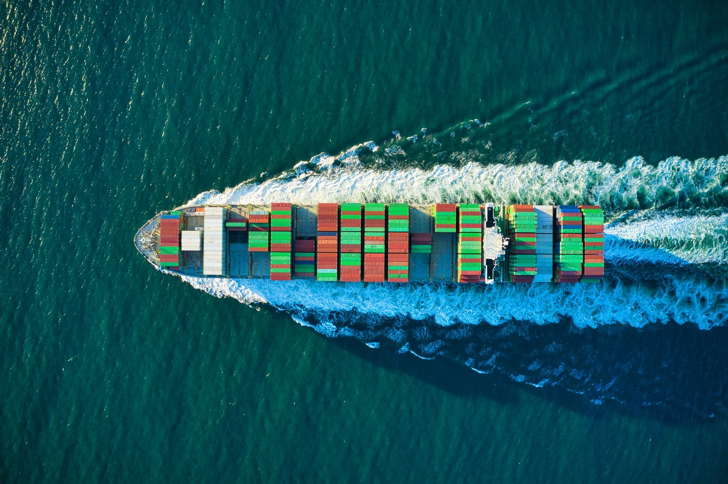
Vessel Tracking and Anomaly Detection
Shipping routes span millions of square kilometers, often beyond radar coverage. We combine radar and optical imaging to monitor global vessel traffic in any weather. AI models identify illegal fishing, smuggling, and unregistered activity—delivering real-time situational awareness for maritime safety, trade security, and environmental enforcement.
-

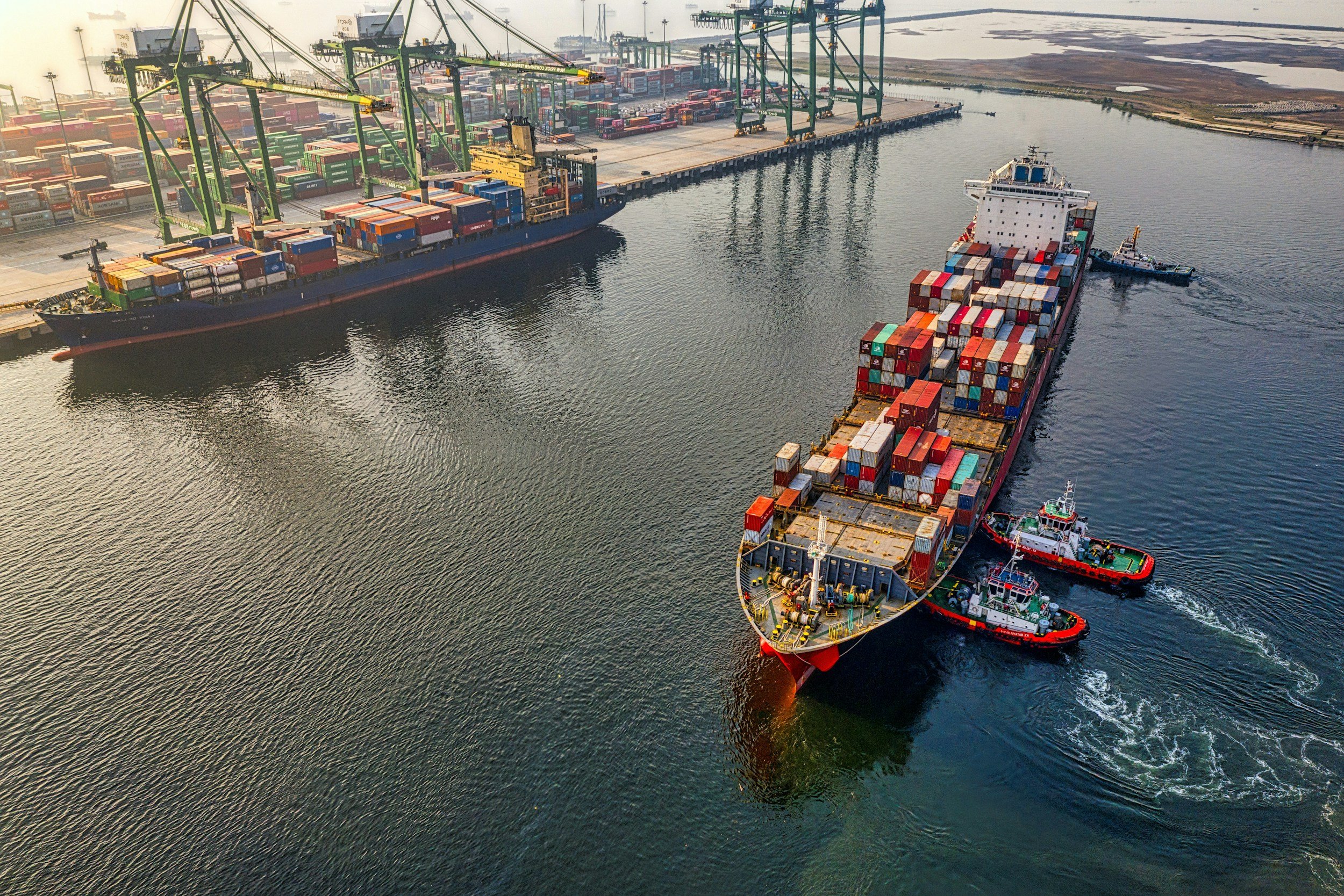
Port Congestion and Operations Monitoring
Port congestion disrupts trade and supply continuity. We provide continuous monitoring of berthing areas, vessel density, and cargo flow through high-frequency imaging. Our analytics reveal operational bottlenecks and enable port authorities and logistics providers to optimize throughput, minimize delays, and plan with confidence under changing global conditions.
-
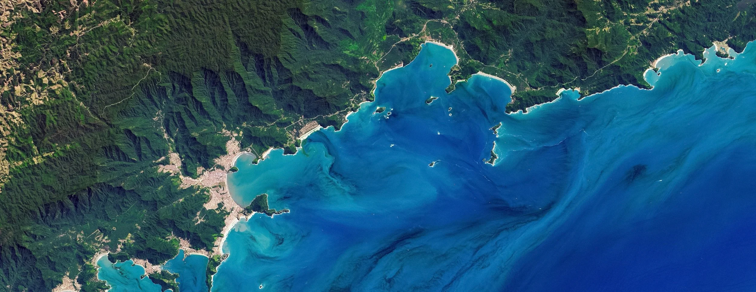
Environmental and Spill Detection
Marine environments face constant risk from oil spills, algal blooms, and industrial runoff. We fuse radar and multispectral imagery to detect contamination early and issue automated alerts. These insights enable faster containment, coordinated cleanup, and improved environmental compliance across national and international waters.