Disaster Response
Axon Earth delivers real-time, all-weather intelligence to detect and monitor disasters as they unfold — from wildfires and floods to earthquakes and storms. Our AI-driven satellite network provides rapid situational insight to help first responders act faster, allocate resources, and protect communities.
-
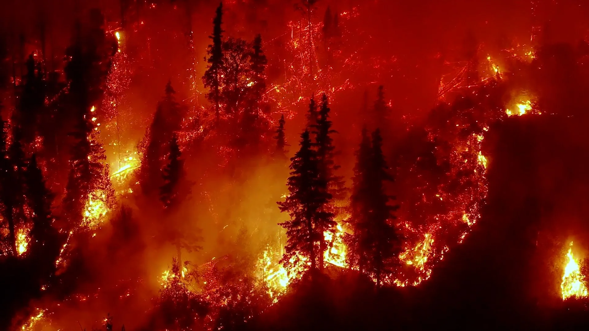
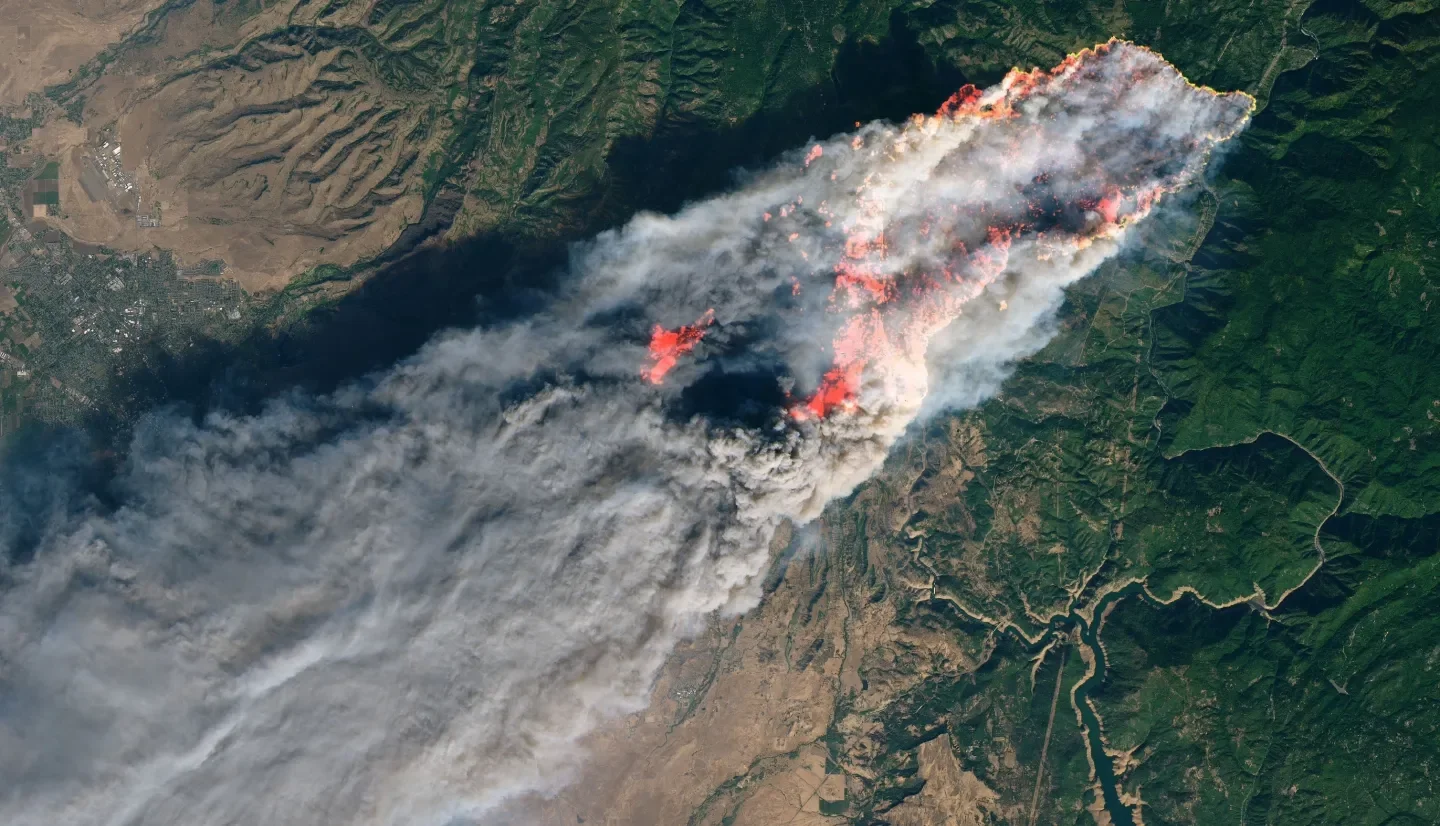
Wildfire Detection and Tracking
Wildfires can ignite and spread faster than ground teams can respond. We combine thermal, optical, and radar imaging to detect ignition points and track fire movement in real time. Our AI filters smoke, clouds, and noise to give responders live visibility, enabling faster action and smarter containment.
-
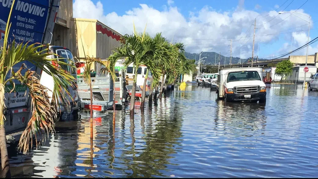
Flood Monitoring and Assessment
Floods evolve rapidly, often hidden by storms and cloud cover. We use all-weather radar imaging and near-continuous monitoring to map inundation, flow, and infrastructure impact as events unfold. Our platform delivers live analytics that guide evacuation planning, resource deployment, and early recovery efforts.
-
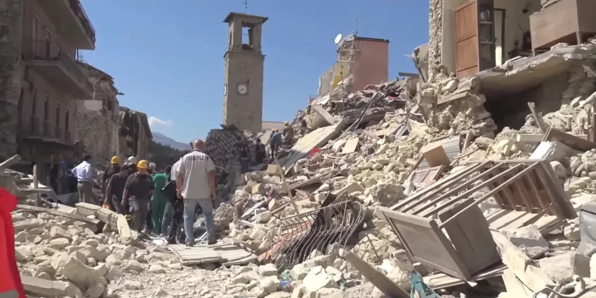
Earthquake Damage Mapping
Earthquakes cause widespread, unpredictable damage that’s difficult to assess from the ground. We analyze before-and-after satellite imagery to detect structural collapse, land deformation, and blocked routes. Our AI generates instant impact maps, helping rescue teams focus efforts, prioritize aid, and restore access faster.