
Logistics & Supply Chain
Axon Earth provides real-time, all-weather visibility across the global supply chain—from ports and terminals to highways and rail corridors. By monitoring vessel traffic, cargo flow, and infrastructure activity, our AI-driven satellite network delivers continuous logistics intelligence—helping organizations anticipate disruption, optimize operations, and maintain the resilience of critical trade networks.
-
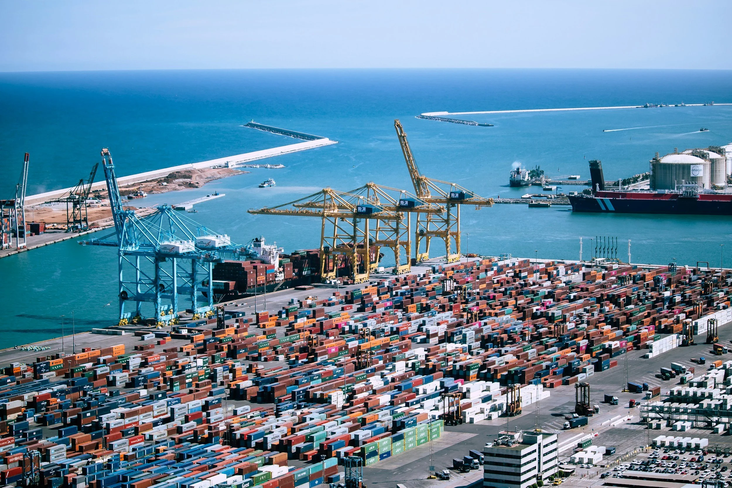
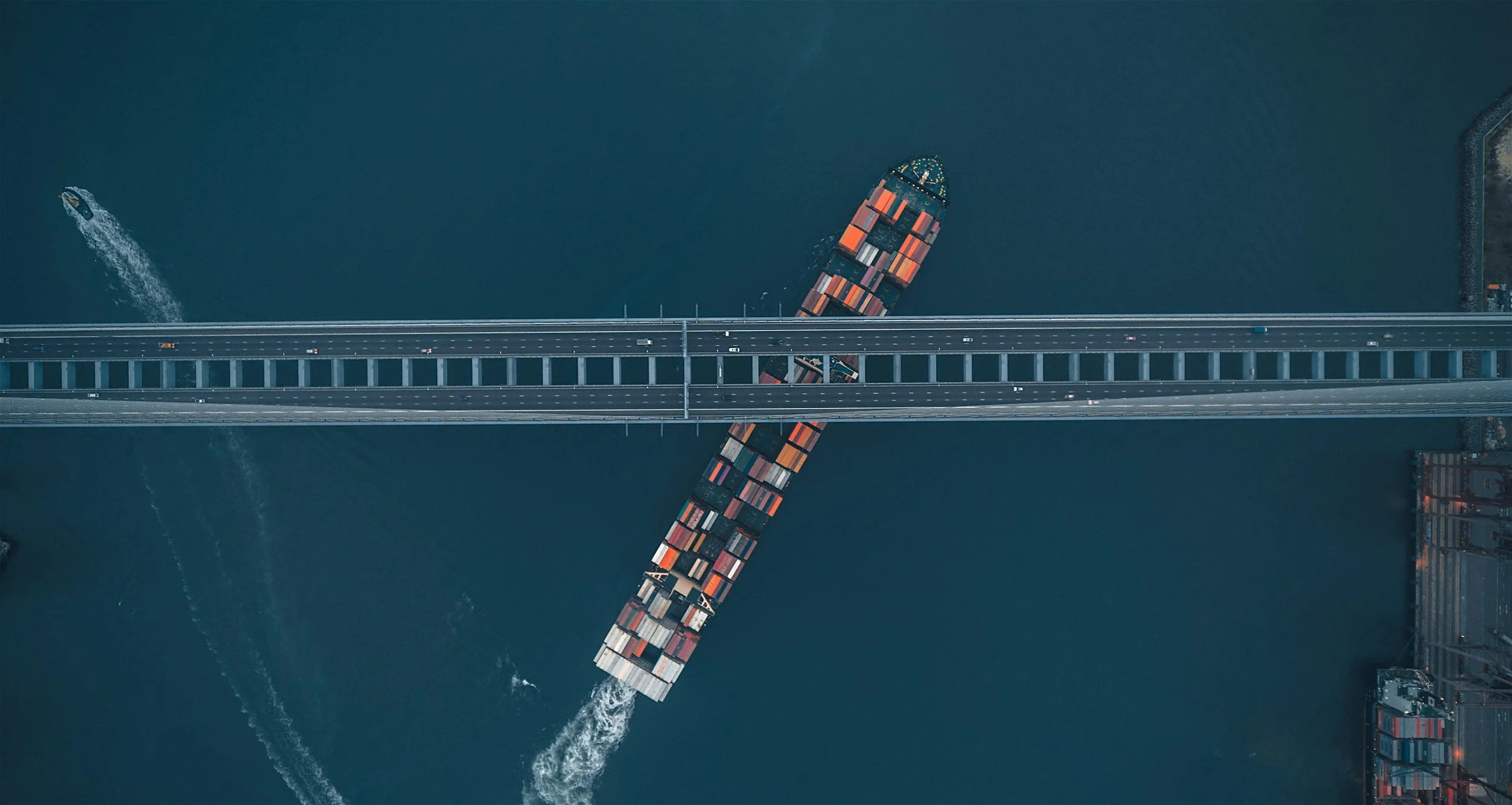
Port and Route Monitoring
Efficient trade depends on visibility from port to final delivery. We track vessel movement, truck activity, and rail flow globally through continuous satellite coverage. Real-time insights into congestion and infrastructure stress enable faster response, smarter routing, and resilient supply networks capable of adapting to disruption.
-
Disruption and Delay Prediction
Supply chains are vulnerable to weather, conflict, and congestion. We integrate satellite imagery with predictive AI models to forecast bottlenecks and transit delays. By identifying risk early, organizations can reroute shipments, optimize capacity, and maintain delivery reliability across complex, time-critical global networks.
-

Asset and Infrastructure Tracking
We use satellite imagery and AI analytics to monitor the condition and integrity of assets such as roads, bridges, and pipelines. By detecting structural change, construction progress, and environmental risks in real time, we enable proactive maintenance, improved planning, and reduced reliance on costly field inspections.