Insurance
Axon Earth transforms how insurers understand, assess, and manage risk. By combining real-time satellite monitoring with AI analytics, we deliver independent, objective data before, during, and after events. Our insights accelerate claims, enhance risk modeling, and strengthen resilience against natural and environmental hazards worldwide.
-
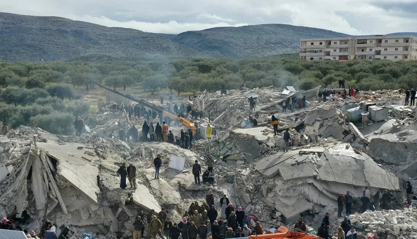
Damage Assessment and Verification
We provide post-event imagery and AI-based analysis to quantify damage with precision. Time-stamped satellite data verifies loss locations, accelerates claims processing, and reduces the need for on-site inspections—helping insurers improve accuracy, reduce costs, and deliver faster relief to policyholders.
-
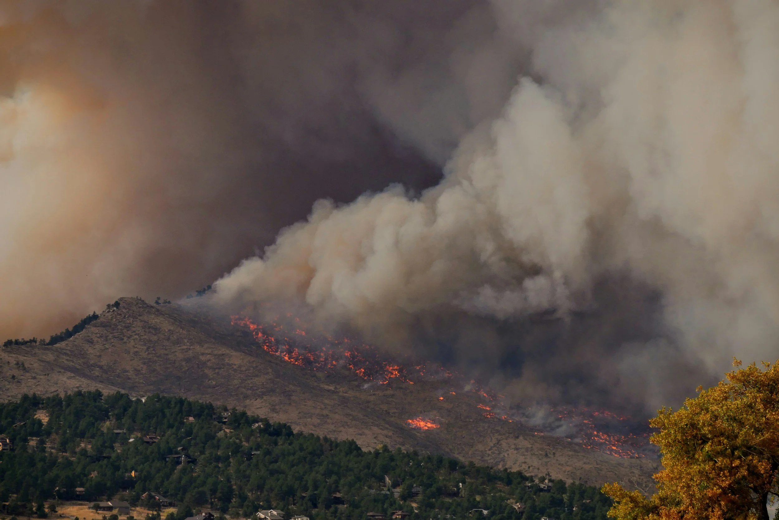
Risk Modeling and Forecasting
Our long-term environmental data supports predictive risk modeling for floods, wildfires, and storms. By integrating historical patterns with live satellite observations, we help insurers evaluate exposure, price policies accurately, and anticipate the financial impact of climate-driven events with confidence.
-

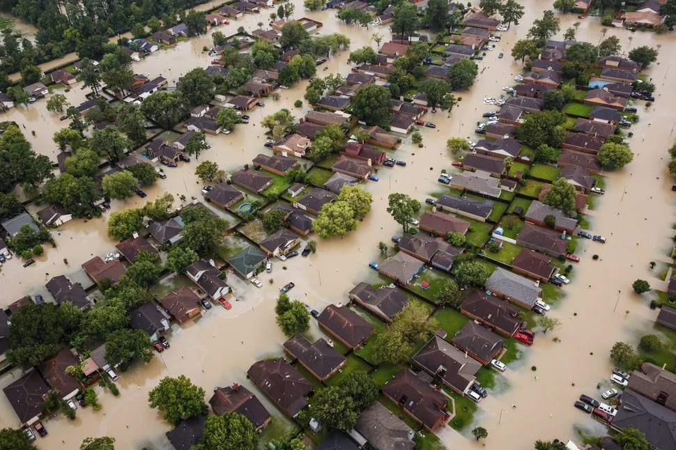
Claims Automation and Event Detection
We use AI-driven event detection to identify floods, fires, and other hazards as they unfold. By automatically correlating satellite data with insured assets, we enable near-instant claim validation, faster response times, and efficient resource allocation—enhancing customer trust, operational performance, and overall disaster resilience.